Use APKPure App
Get Agroid old version APK for Android
mesure les distances Agroid, périmètres, surfaces et dispersion de position (Freeware)
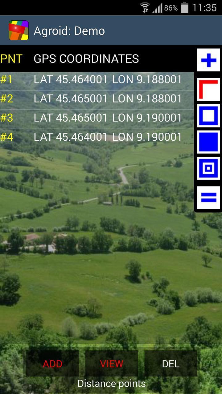
Agroid can measure distances, perimeters and areas (metric and imperial units for length and area): it is useful for measuring land, fields or buildings (app designed for a high OUTDOOR visibility).
Other unique usages:
- average altitude calculation (ellipsoid height)
- position error analysis (DRMS)
This ad free edition has a reduced download size.
Using special functions such as ACCURACY SETTING and MARKER FINE REPOSITIONING you can improve the accuracy.
Maps can be downloaded in advance in order to avoid any internet connection during a survey .
Using the tracking mode you can collect points and measure by just walking around.
After the completion of the land survey you can access to the map views for viewing/repositioning your markers and export your data using KML or TXT files
Exporting the KML file you can view/trim the data in your favorite program
Tablet ready app: it supports Landscape/Portrait mode and pages are automatically resized.
Agroid has different operating modes:
- Survey mode (to measure without maps, GPS driven)
- Mixed mode (GPS & manual)
Coordinates can be retrieved from different sources:
- GPS (points collected according the specified accuracy)
- Tracking (GPS points collected according to specified rate/interval)
- Reference (manual input/edit)
Map providers:
- Google Maps (Satellite, Street, Hybrid, Terrain)
- Open Street Map (OSM)
Main geographical point functions:
- delete
- edit
- move
Main document functions:
- Maps
- Views
- Toolbar
- Zoom
- Select point
- File (New, Open, Save, Export, Delete)
- Share
Available measurements units:
- Length units: meter, feet
- Surface units: sq m, ha, sq feet, acres
Follow the automatic hints in order to use the app properly.
Read the embedded User Guide: read carefully the accuracy chapter to achieve the best results!
Last updated on Nov 28, 2017
Freeware (no ADS)
Dernière version
![]() 4.0.3
4.0.3
Telechargé par
Ali Karem
Nécessite Android
Android 4.0+
Catégories
Signaler


Discover what you want easier, faster and safer.

Agroid
GPS Area Measure (No Ads)4.0.3 by Gaia Consulting
Nov 28, 2017