Use APKPure App
Get NowaMaps - Maps & Tools old version APK for Android
NowaMaps - Mesurer les distances, part emplacements, les emplacements de recherche, portant bien sûr.
Measure distances, share locations, search locations using coordinates or text, course bearing, use a pure map in street, satellite and terrain view or see where your path takes you with FutureView.
NowaMaps offers an extensive map based on the map data from Google Maps.
A useful tool for geocaching, airballooning, on water and outdoors.
Features:
MEASURE DISTANCE
Measure the distance between several points on the map and see the direction of the last two points. Inside menu you can select to show the distance either as direct line or as stretch of way. Created points can be deleted and restored.
SHARE LOCATION
Share your location or any point on the map with others. The location link can be opened with NowaMaps as well as with other Apps or Google Maps on the Internet.
FUTUREVIEW
In Future View mode you will see where you will be in 30 and 60 minutes, based on your current location, speed and direction.
COURSE BEARING
In FutureView mode you can tale a bearing on a deviating course by tapping the map to put a marker on it and you will see the direction and deviation from your current course.
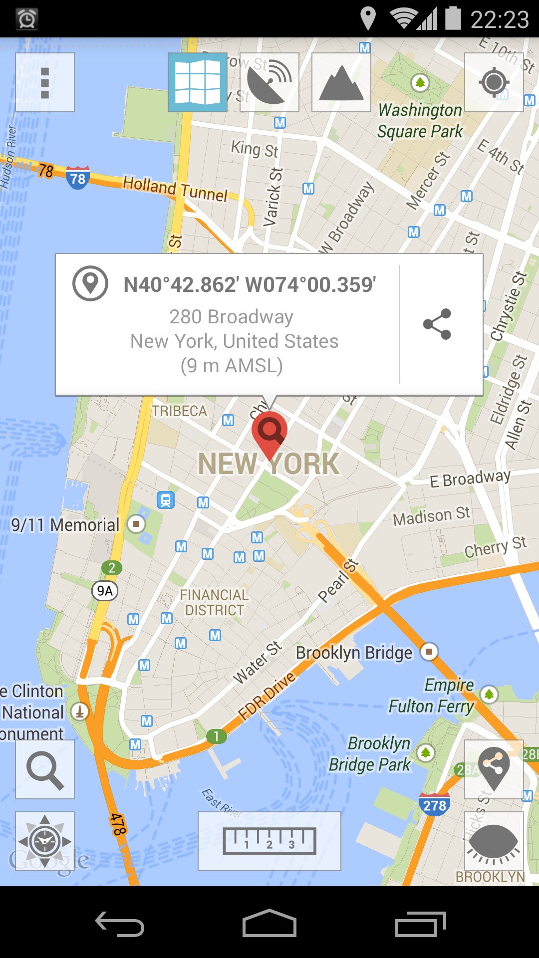
SEARCH LOCATIONS USING COORDINATES OR TEXT
Find a specific location on the map by using coordinates or text. Select the format of the coordinates inside menu to suit your needs.
PURE MAP
Hide all buttons and markers with the push of a button to see a pure map.
Choose between the three map types normal, satellite or terrain.
Inside settings NowaMaps gives you the option to change the language (german or english), to select the type (direct line or stretch of way) and units of measurement (metric or nautical), change the format of coordinates, to enter an height correction or to send your feedback.
Last updated on May 29, 2020
Minor bug fixes and improvements. Install or update to the newest version to check it out!
Dernière version
![]() 1.52
1.52
Nécessite Android
4.1
Available on
![]()
Catégories
Signaler


Discover what you want easier, faster and safer.

NowaMaps - Maps & Tools
1.52 by NOWAWEB
May 29, 2020
$3.49